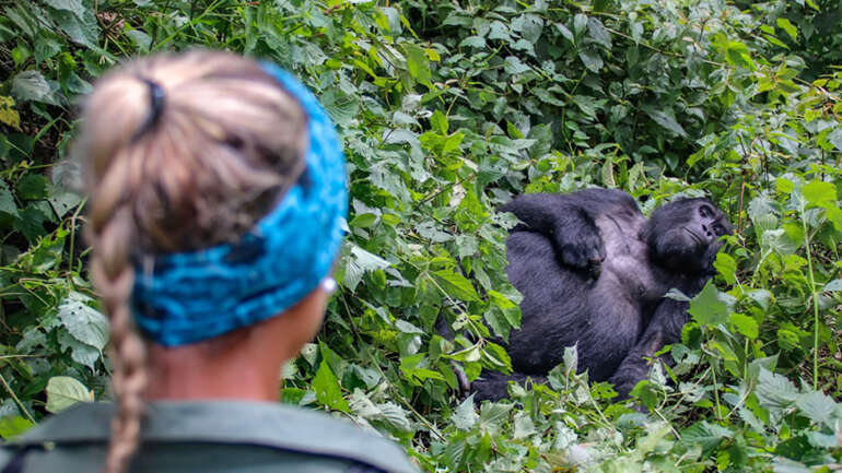
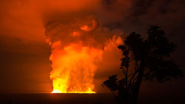
Volcanoes National Park in Rwanda is home to a some of the last remaining mountain gorillas and the hub of national tourism activities. It is perhaps one of the intensely protected parks in Africa through government and NGO programs. It also exists in some of the most densely populated rural areas in Africa, with densities in the sectors surrounding the park ranging from around 350 to over 1000 people per square kilometer. These park-adjacent communities are integral to the success and sustainability of park management activities and ultimately, the survival of the critically endangered mountain gorilla and people who depend on the habitat and resources from the park.
A recent comprehensive survey conducted by the Dian Fossey Gorilla Fund- International’s Karisoke Research Center, CARE International’s Enterprise, Equity and the Environment in the Greater Virunga Landscape Project, and the International Gorilla Conservation Programme assessed the current economic and social status of households in the 12 sectors adjacent to Volcanoes Park Rwanda. The study was funded by EEEGL and also received co-funding from the Protected Area Biodiversity project of GEF/UNDP/REMA.
The results show the strengths and weakness of community conservation interventions, i.e. those activities, associated with park conservation, aiming specifically at increasing the flow of economic benefits from the park to the neighboring population and / or supporting the diversification of livelihoods near the park. The evidence gathered by the study shows that the high population density near the park dilutes the overall economic impact of community conservation activities. It also calls for a better targeting of these activities to reach more effectively the intended social targets.
The study comprised of a stratified random sample household survey combined with a purposely sampled participatory rural appraisal, targeting the 12sectors around PNV. We present here some highlights of the findings. The report is available in the documentation section of the web site.
The land squeeze
The land holdings of households land in the area have a mean value of 0.55 ha and appear to be declining. This shortage of land is due to a mean population density for the 12 sectors of 590 people per square kilometer (ranging from 314 people per sq km in Kinigi Sector to 1,028 people per sq km in Gahunga Sector). The study explored people’s perception about land availability and shows a high degree of concern in this regard among the population.
The hungry gap and illegal park use
In 2009, the mean net annual household income was estimated at approximately 540 USD (just marginally higher than the mean 525 USD reported by a study carried out in 2003). The largest proportion of this income comes from farming, followed by business/trade. We analyzed the distribution of income across the population and found a very wide gap: the upper 20% income bracket captures more than 67% of the available total income, with the lowest 20% income bracket capturing only 0.43 percent of the total income available.
Therefore, a significant proportion of the population is very vulnerable. Generally, food and cash were reported as most scarce during the period July to November, corresponding to the cultivation period when stocks of produce are low before the main harvest. It is during this period, referred to as the ‘hungry gap’ that communities self-reported an increase in illegal park use. This is especially true for households adjacent to the park, who reported using the park for water, bush meat, honey, firewood, and bamboo. Households not adjacent to the park mainly entered the park in search of water during the dry season.
Social infrastructure, education and income generation
Economic development activities associated with conservation interventions have largely aimed at improving social infrastructure (i.e., community water tanks, clinics and schools), public education and income generation opportunities. The study show that there is a widespread awareness of social infrastructure projects and education projects associated with the park, with a high proportion of households that directly benefit from those. There was a lower level of awareness of income generating projects and a corresponding low level of households that directly benefit. Furthermore, the recognition of the impact of these strategies vary significantly in relation to the income level of the households
Previous studies on illegal uses of the national park have shown that the poorest households adjacent to the park are those most likely to engage in illegal activities in the park. Therefore, community conservation activities should be targeted to the poorest households around the park. This study, demonstrates that households with lower income were less likely to recognize tangible benefits from interventions than households with higher income.
The way forward
The key message of the study is that, given the social reality around the park, widespread and profound agricultural transformation is required to reach an impact on the economic status of most people in the area. Community conservation activities can have a role to play, but these need to be better targeted to achieve clear impacts on specific social groups. The study has been presented to local and national stakeholders and is expected to generate a reflection on the strategies of community conservation around PNV, to make them more robust and effective. It also provides a foundation to conceive broader and mainstream rural development interventions
Dr Glenn K Bush
formerly Research Associate, Karisoke Research Center.
The full report of the study is available in the download section of our website.

